Geoarchaeology of the Mesopotamian floodplain sediments: Composition, provenance and archaeological context
School of Archaeology Talk by Jaafar Jotheri, Professor in Geoarchaeology, University of Al-Qadisiyah


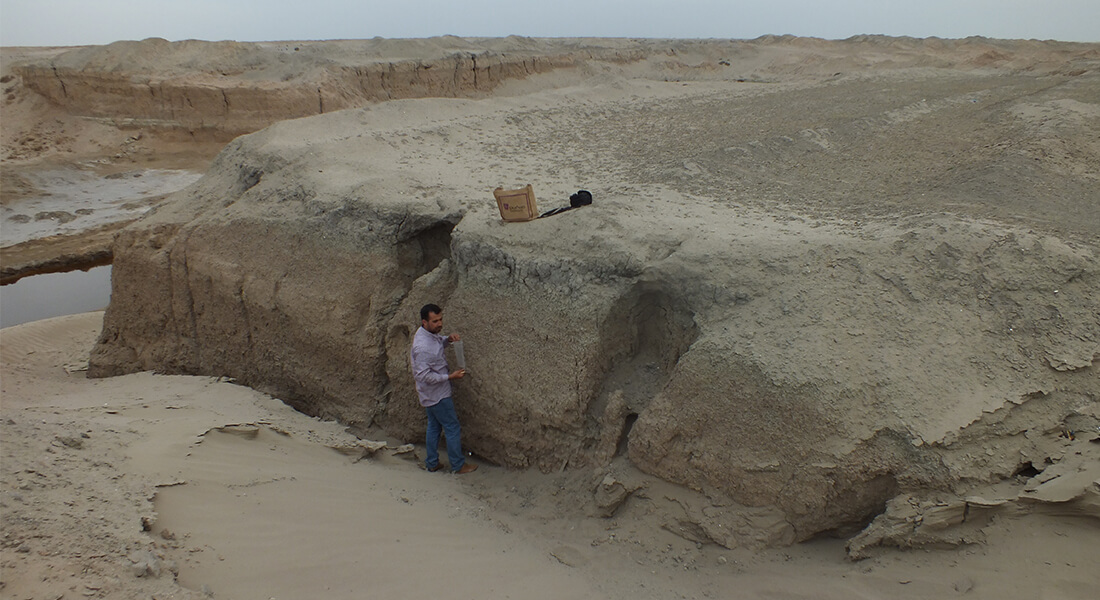
Geologically, the Mesopotamian region represents the foreland basin to the Zagros fold-and-thrust belt, and the Tigris and Euphrates rivers are axial drainage systems that pass along this basin from northwest to southeast. The Mesopotamian floodplain was mainly built by the Holocene sediments of the Tigris and the Euphrates rivers. The Holocene deposits are about 15 - 20m thick, composed of several greyish floodplain sediments alternating between fine and medium sand of a channel belt, fine sand to silty sand of a crevasse splay, and finally, a silty clay to clay flood basin. These sediments were deposited in a climate that was warming up after the last phase of the Pleistocene's pluvial conditions.
Two main geological formations contain massive clay units in their lithology: Fat'ha (Lower Faris), Middle Miocene Formation, and Injana (Middle and Upper Faris), Upper Miocene Formation. Both formations consist of clastic sediments, such as clay and sandstone, which are prone to rapid erosion. These sediments are then transported by rivers and deposited within the floodplain basin. They are extensively exposed across large regions in Iraq and Iran, and the majority of rivers, valleys, and tributaries flowing into the floodplain traverse these formations. Consequently, most Mesopotamian clay originates from the clastic sediment of these two formations. In southern Mesopotamia, the Tigris and Euphrates rivers frequently change their courses due to various natural and human activities. These changes result in flooding, dry spells, desertification, and sediment reworking. Consequently, the floodplain sediments (clay, silt, and sand) are not stable and are subject to erosion, mixing, transportation, and redeposition. As a result, the lateral and vertical variation of the sediment is not uniform across the floodplain.
Additionally, the Tigris and Euphrates rivers did not have a restricted movement area in the floodplain but moved wherever it was geologically feasible. That is why it isn't easy to assume that each section of the floodplain has distinct sediment characteristics that differentiate it from other sections of the same floodplain. Floodplain topsoil typically consists of clay, silt, and fine sand. Layers of pure red clay, sand, and marsh sediments are shallow, usually within the first meter. That is why it was easy for the Mesopotamian people to find the proper sediment for their use. The mixed topsoil is suitable for making mud bricks. Red clay and sand are located a few centimetres below the surface, ideal for pottery and construction.
Map of South Campus
View directions.
View on map of the Faculty of Humanities - South Campus.
View map of South Campus (pdf).
